

Layer Preview
The Map Preview tool is used to quickly preview a layer that has been configured in GeoServer. It is based on the OpenLayers library which is a great tool for visualizing layers via WMS. This section covers the use of the Map Preview.
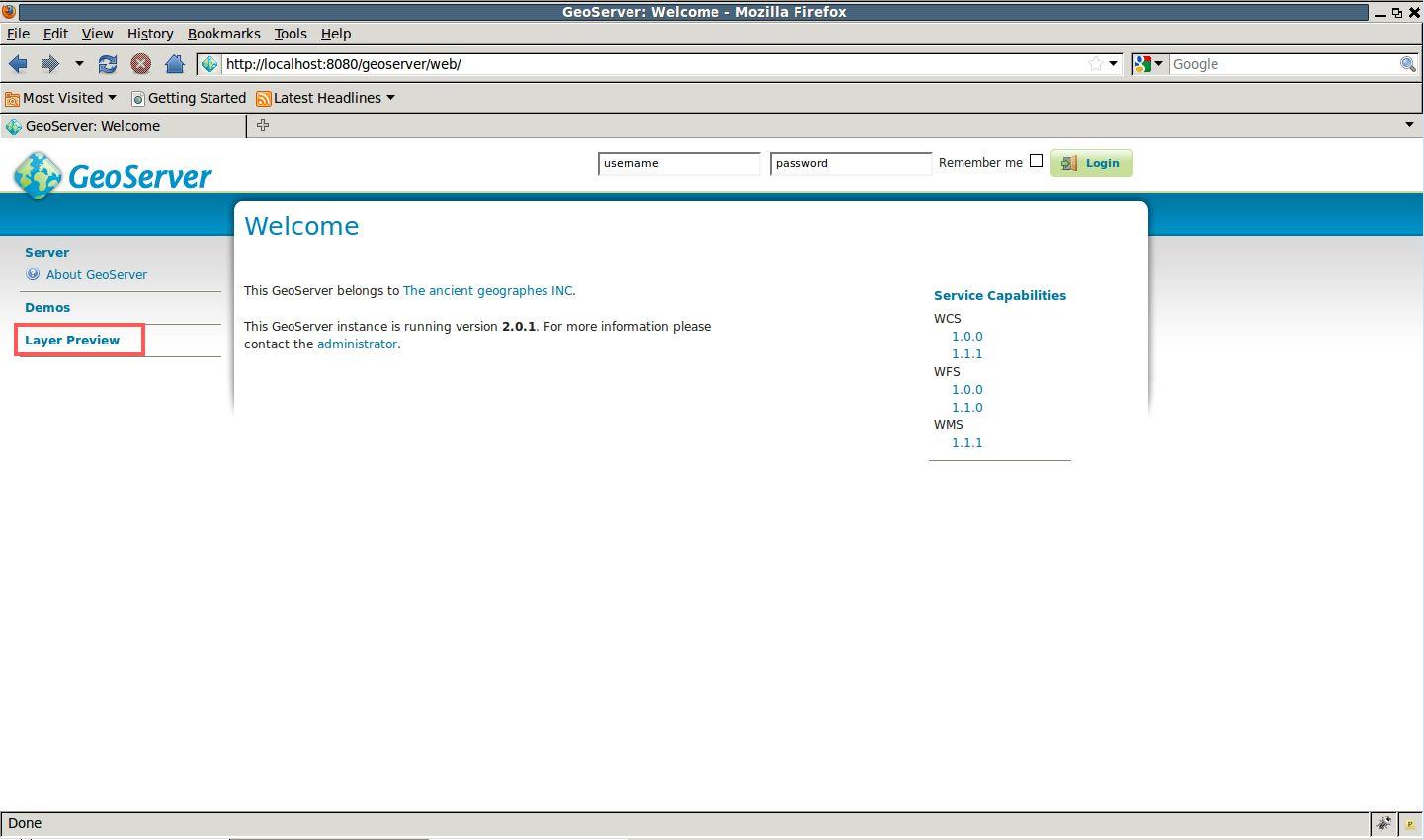
Navigate to the GeoServer Welcome Page.
From the Welcome page navigate to the Map Preview by clicking the Layer Preview link.
Viewing the demo page
From the Map Preview page, preview the states layer by clicking the geosolutions:states link.
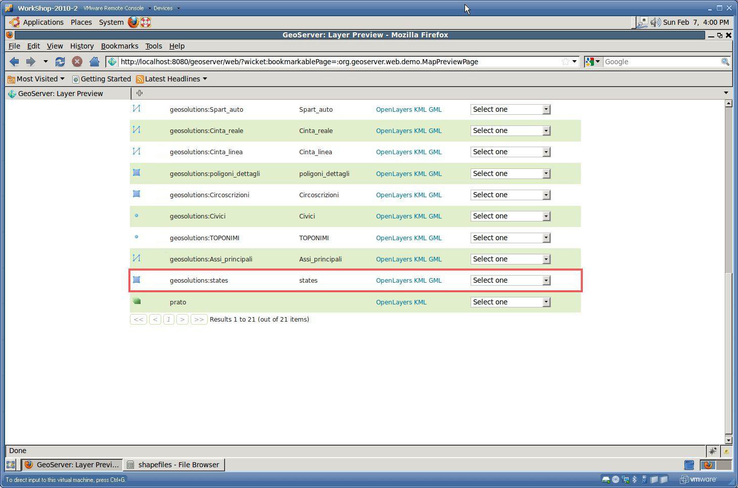
Viewing the OpenLayers map preview
Note
The Map Preview contains a list of all layers currently published by GeoServer. A layer can be previewed in a variety of formats like KML and GeoRSS. The default is an OpenLayers map.
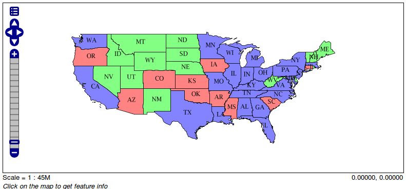
Previewing the states layer
At this point we finished the basic tour of GeoServer and we’re going to data configuration.