

Services
In this section will be described the services furnished by GeoServer and accessibles from the Web Administrator Interface.
OGC Services
In this section we will see how to customize the OGC Web services settings. You have to be logged in as Administrator in order to access the advanced configuration options.
Navigate to the GeoServer Welcome Page.
From the Welcome page navigate to the WCS by clicking the link on the Services section.
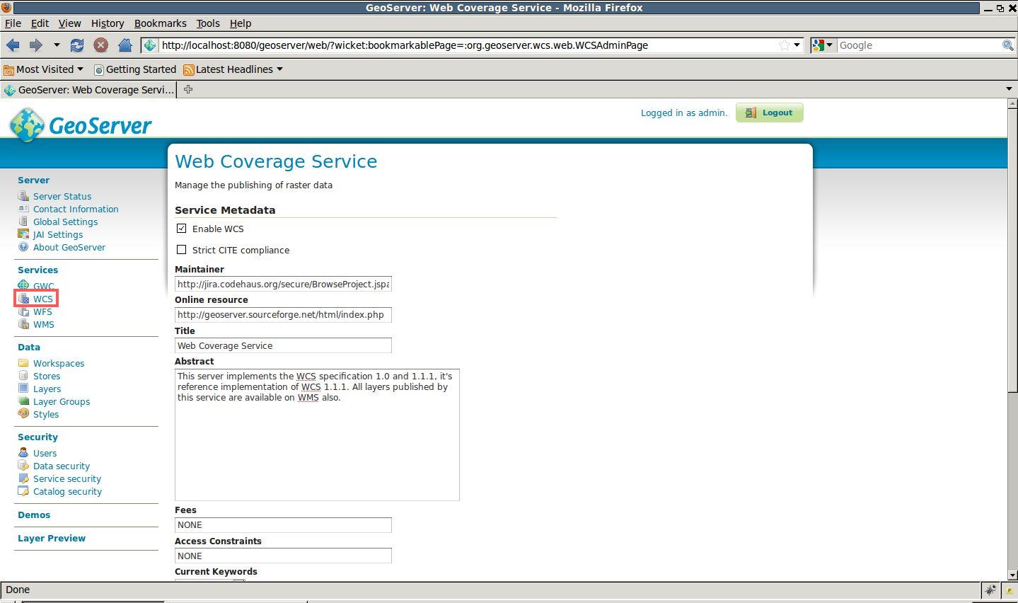
WCS Metadata
- Customize the WCS metadata by modifying the Maintainer, Online Resource, Title and Abstract sections.
- Add the keywords Prato and Comune to the Keywords list
From the Welcome page navigate to the WFS by clicking the link on the Services section.
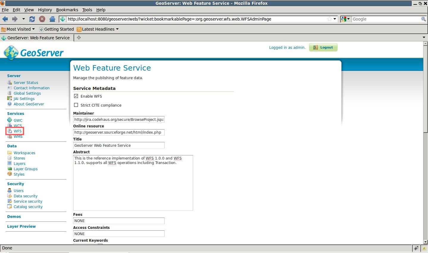
WFS Metadata
- Customize the WFS metadata by modifying the Maintainer, Online Resource, Title and Abstract sections.
- Add the keywords Prato and Comune to the Keywords list
- Make sure the Return bounding box with every feature check is disabled if you want better performance from WFS GetFeature operation
From the Welcome page navigate to the WMS by clicking the link on the Services section.
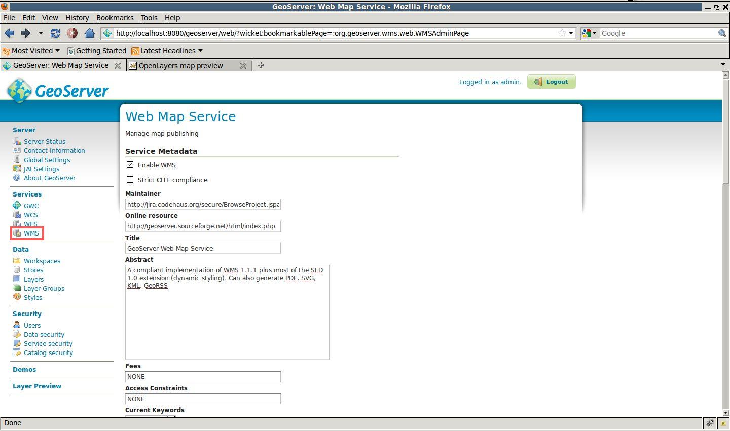
WMS Metadata
Customize the WFS metadata by modifying the Maintainer, Online Resource, Title and Abstract sections.
Add the keywords Prato and Comune to the Keywords list
Make sure the Nearest Neighbor is selected as the default interpolation for better performances. Select the other for better image quality.
Enable Watermark and insert
file:data/prato.gifinto the Watermark URL text box and75into the Watermark Transparency text box.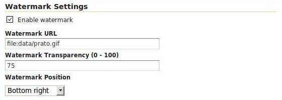
WMS Watermarks
At this point the OGC services are configured for a Production environment.
GWC Service
GeoWebCache (GWC) is a WMS tiling client integrated into GeoServer.