

Filtering Maps
This section shows the GeoServer WMS fitering capabilities.
Navigate to the GeoServer Welcome Page.
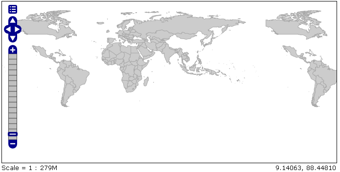
Go to the Layer Preview link at the bottom of the lefthand menu and show the geosolutions:WorldCountries layer with OpenLayers ‘Common Format’.
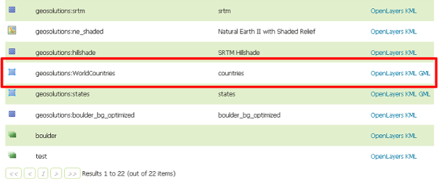
Showing the GeoServer layer prewiew
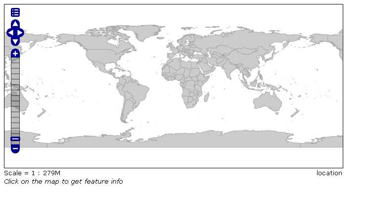
Show the layer with OpenLayers
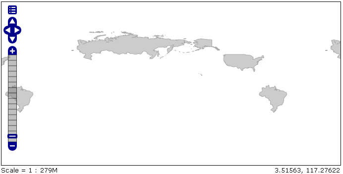
From the Filter combo box select ‘CQL’ and enter the following command in the text field:
POP_EST <= 5000000 AND POP_EST >100000
Click ‘Apply Filter’ botton on the right.
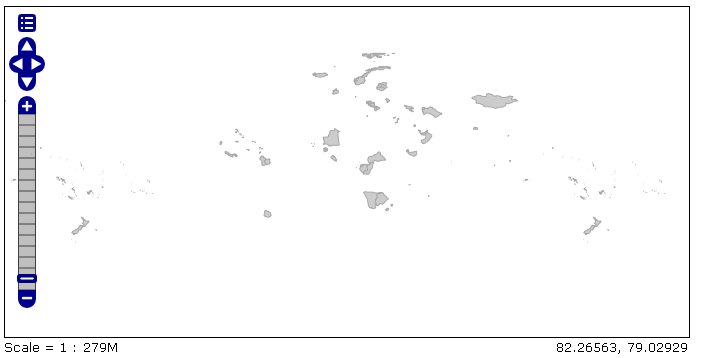
Result of the CQL filter
Note
The corresponding WMS request is:
Now enter the following command in the text field:
DISJOINT(the_geom, POLYGON((-90 40, -90 45, -60 45, -60 40, -90 40))) AND strToLowerCase(NAME) LIKE '%on%'
Click ‘Apply Filter’ botton on the right.
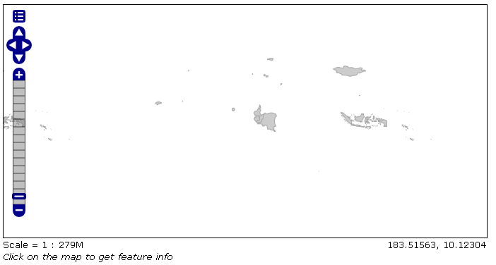
Result of the CQL filter
From the Filter combo box select ‘OGC’ and enter the following filter in the text field:
<Filter><PropertyIsEqualTo><PropertyName>TYPE</PropertyName><Literal>Sovereign country</Literal></PropertyIsEqualTo></Filter>
Click ‘Apply Filter’ botton on the right.
Result of the OGC filter
From the Filter combo box select ‘FeatureID’ and enter the following features ids in the text field separated by comma:
WorldCountries.227,WorldCountries.184,WorldCountries.33
Click ‘Apply Filter’ botton on the right.
Result of the FeatureID filter
Note
The corresponding WMS request is: